Map The Wine
An atlas of 108 wine regions in 16 countries. Pick a country below, or explore the map.
Start with a country
108wine regions, each with its own map and guide
16countries, from Argentina and Australia to Ukraine and the United States
65grapes you can follow from region to region
How to read the maps
- Start on the world map and click a pale country. It zooms in and shows its regions.
- Shaded areas show roughly where a region lies. Where a region is smaller than any official district, a round shape marks its rough extent. These areas are approximate, not legal boundaries.
- Open a region to see it close up, with its best-known appellations and wine towns, and links to the people who define it.
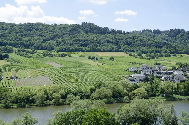
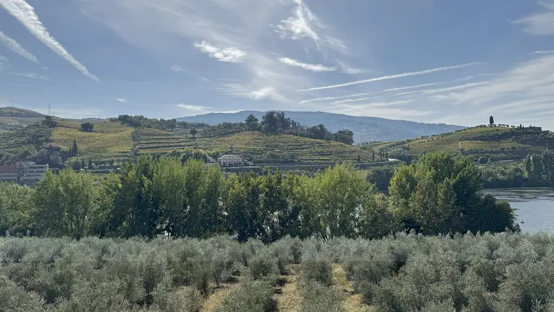
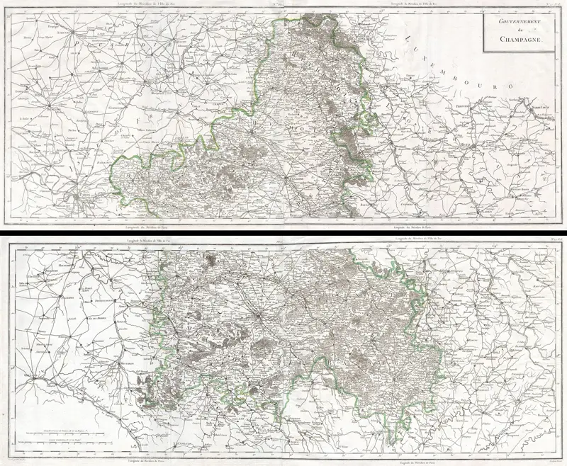
Wine is easiest to understand as a place.
Before the grape, the label or the price there is a hillside, a river, a climate, and someone who decided to plant vines there. Each region here is placed on a real map, with the appellations and towns that give it its name.